
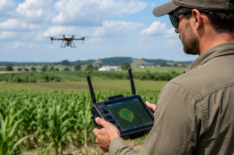
Understand polygon and line geometry for field boundaries. This page is part of the To a pre-mapped area section of the ABZ Innovation Community knowledge base.
Use this topic to identify the key terms, related equipment and practical questions to review before working in the field. Reference materials and settings may change across drone models and software versions.
For any operation involving aircraft configuration, flight safety, equipment servicing or agricultural applications, consult the current ABZ Innovation manuals and local requirements rather than treating this educational page as an operating procedure.
Important: This educational template is not a substitute for official equipment instructions, safety procedures or local aviation rules.
Related resources
⌖
To a pre-mapped areaBring existing survey data into route planning.↗⌖
Area mappingOrthomosaic and field data as inputs to mission design.↗⌖
Line shapeUse linear geometries for route-related planning.↗⌖
How to mark obstacles in QGISReview mapped obstacles in a GIS workflow.↗⌖
Import the SHP to the controllerReview shapefile preparation and compatibility.↗